
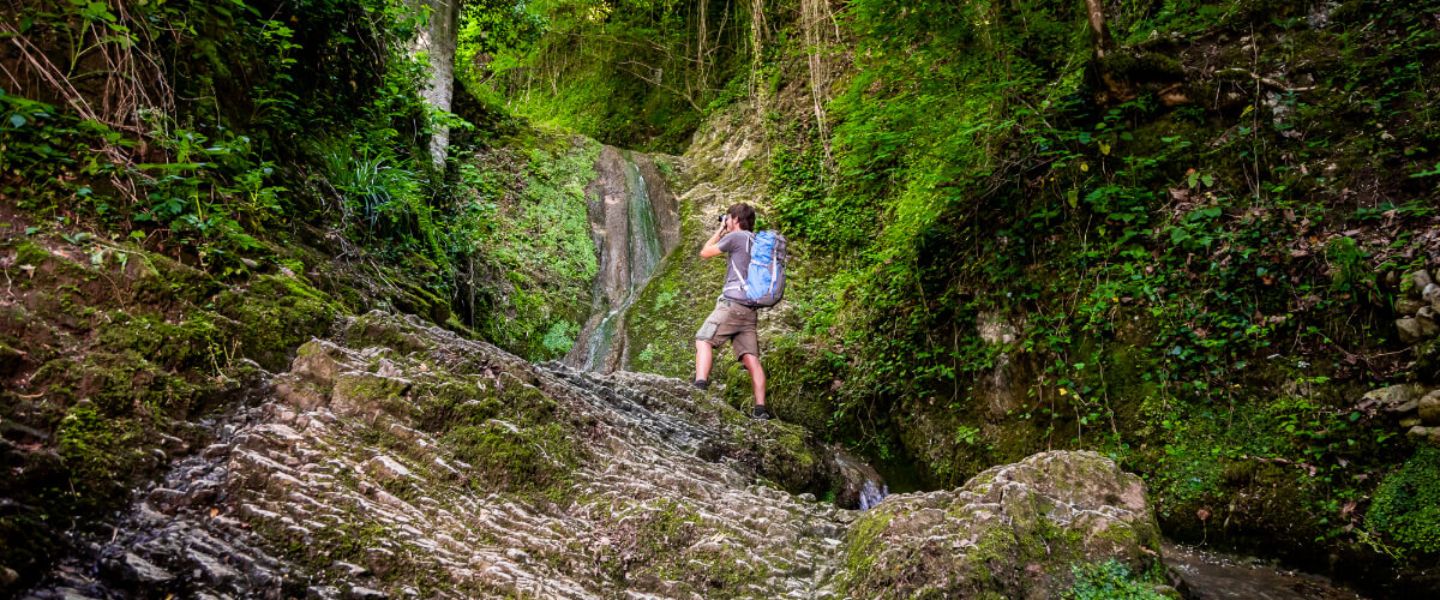

Cà Rigo path
Thematic itinerary n. 8 of the Walk of the Titano
Starting from the center of the small, but suggestive, fraction of Cà Rigo, through this itinerary, you can quickly reach two bomb shelters, dug during World War II at the passage of the front, still open and visible.
It is also possible to cross a badlands environment which is typical of our territory and is also full of animals and footprints, with a beautiful view of Mount Titano, along the cantoniera road (workers’ road), thus going up a little above the town of Cà Rigo, reachable in a short time.
The small district also has parking spaces and a bar and restaurant service.
Practical information
Length of the trail: approx. 4,77 kilometers
Walking time: 1 hour 30 minutes
Difference in altitude: 253 metres (minimum altitude 194 metres a.s.l. maximum altitude 449 metres a.s.l.)
Difficulty: medium
Clothing: It is mandatory to wear personal devices or high-visibility reflective clothing during physical or sporting activity from half an hour after sunset to half an hour before sunrise and, in any case, whenever poor visibility conditions exist.
Suggested events
Tourist attractions nearby