1st stage
Rimini - Santo Marino, Poggio Berni (RN)
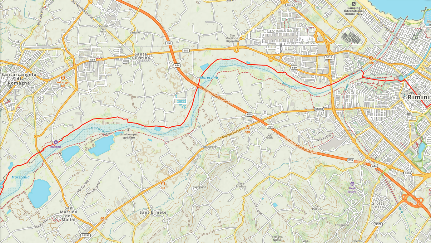
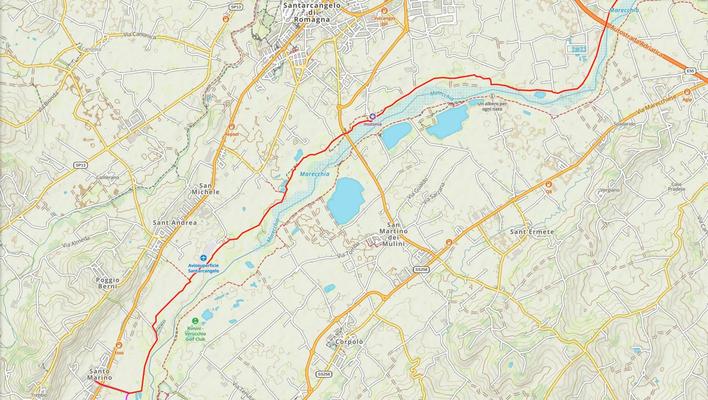
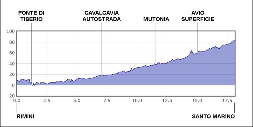
The route starts from the Church of Santa Rita (Stamp 1) - Largo Antonio Gramsci 1, 47921 Rimini - RN - which was traditionally the place where Saint Marinus lived during his stay in Rimini. Proceed in the direction of the Arco di Augusto and go along the entire main street, passing through Piazza Tre Martiri, up to the Ponte Tiberio. In this section you will not find any trail stickers, as we wanted to respect the decorum of such an important historical centre.
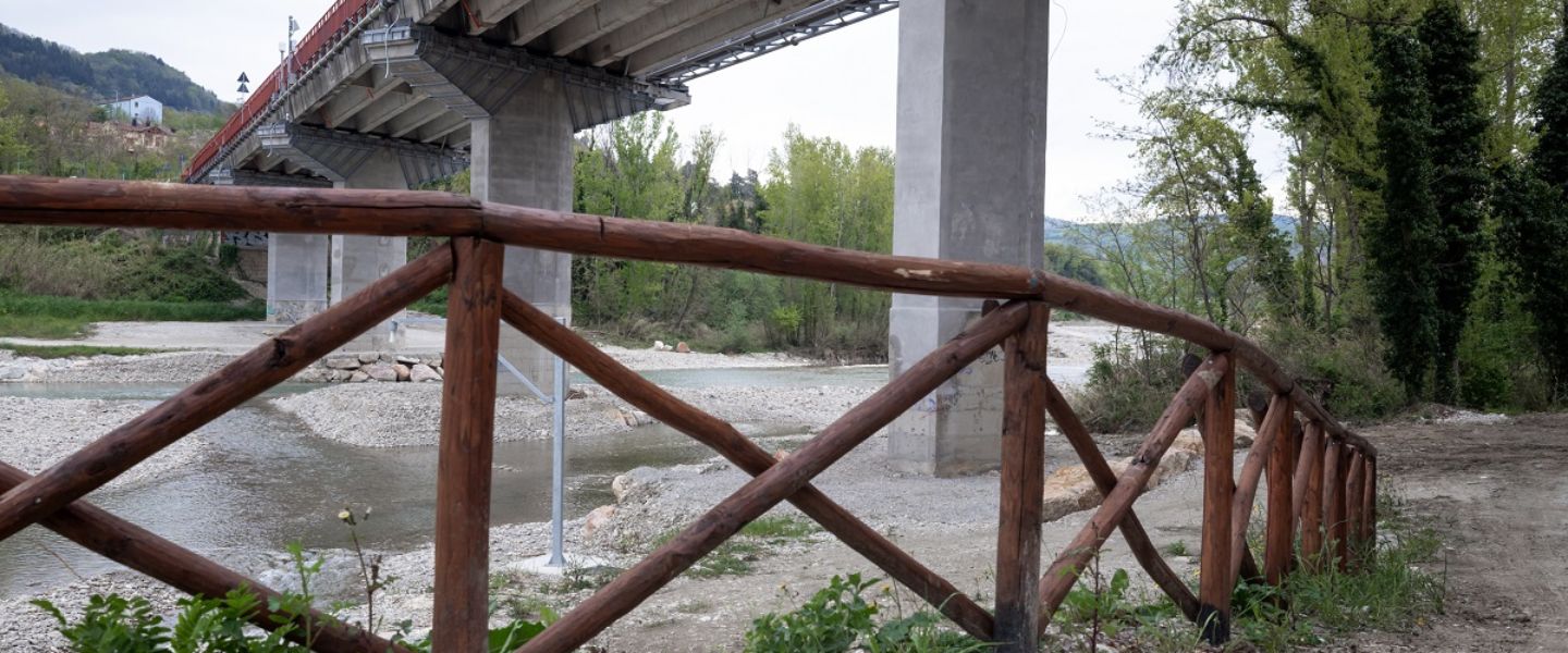
Having reached the ancient Roman bridge, we do not cross it but, moving to the left, we enter Parco 25 Aprile, the ancient bed of the Marecchia river, following the first trail signs that lead us to a small wooden bridge called Ponte degli Scout, which will allow us to cross the current riverbed.
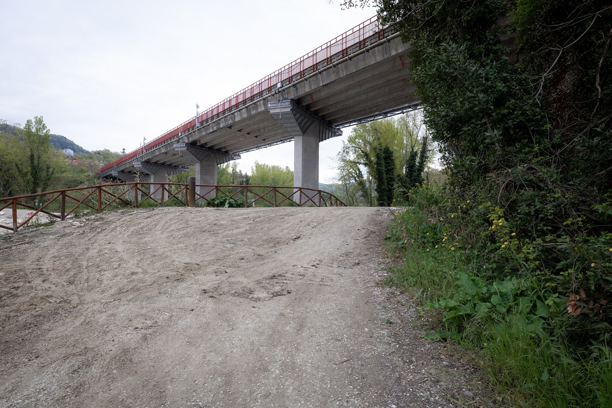
From here on, the route will always run alongside the water, on a flat gravel track which does not present any particular difficulties, apart from the many possible turns, which you need to pay a little attention to.
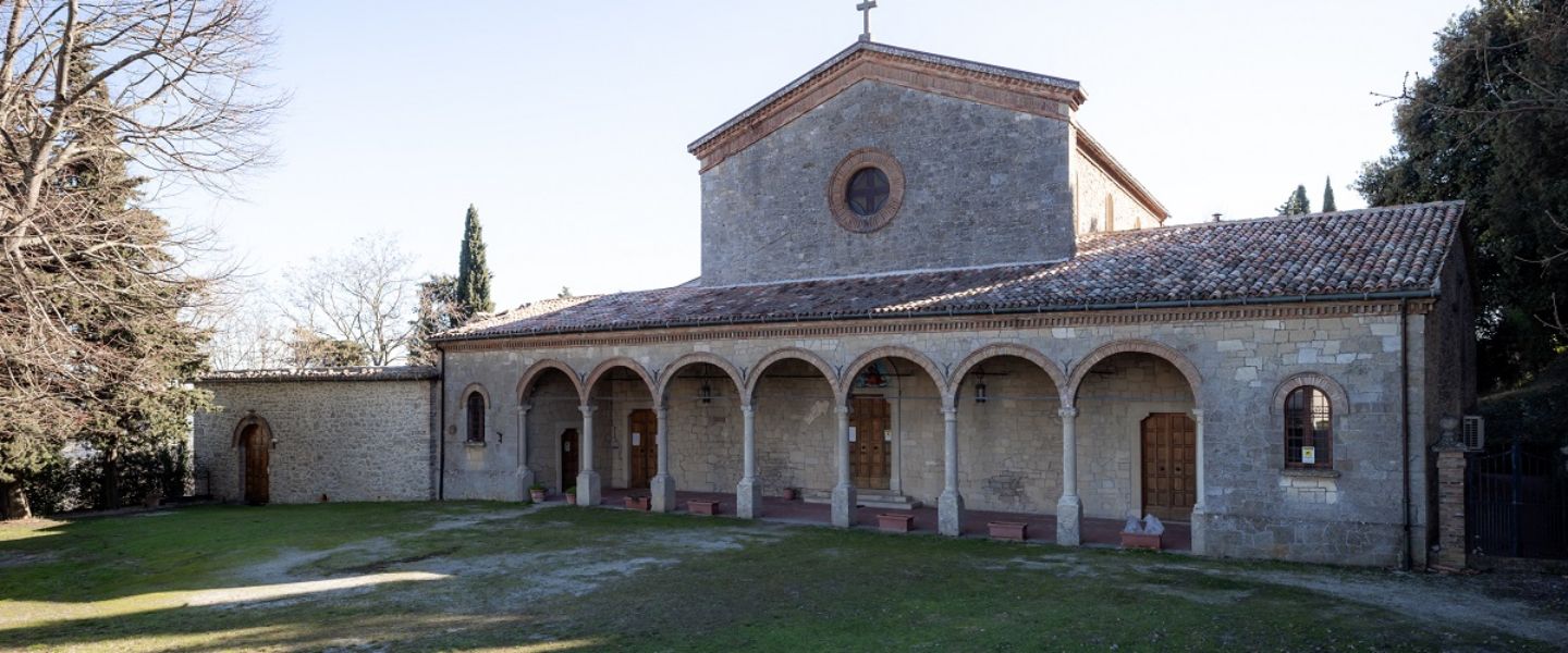
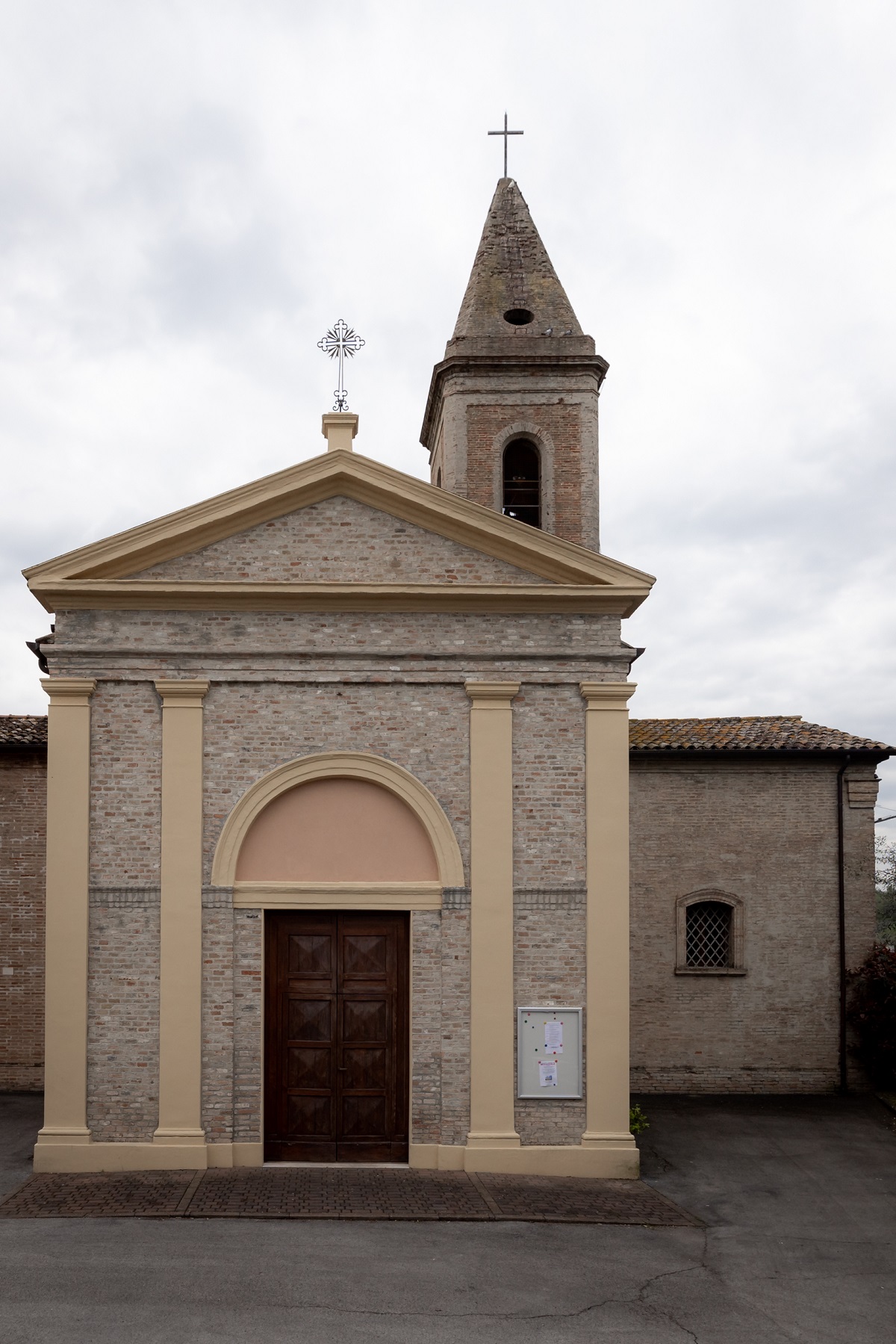
Our first day of the Walk ends in Santo Marino, the locality of Poggio Berni, the place where a church was built in honor of the saint (Stamp 2).
Useful numbers for food and accommodation:
Municipality of Poggio Torriana
+39 0541/629701
www.comune.poggiotorriana.rn.it/
www.explorevalmarecchia.it/